Landscape Ecology of Singing Insects 1: Glacial Influences

by Carl Strang

One of my winter projects has been to write new sections for my singing insects guide which go into ecological topics. This was inspired by my reading a newly published textbook on landscape ecology (With, Kimberly A. 2019. Essentials of landscape ecology. Oxford University Press, Oxford, U.K. 641 pp). In the next few posts I will share parts of the added sections. Today’s focus is the impact of the last continental glacier on the landscape and selected insect species:

Though the focus in most of this guide is on the individual species of singing insects, the field of landscape ecology provides a framework of broader patterns and questions for which the ecologically diverse singing insects provide a suitable lens.

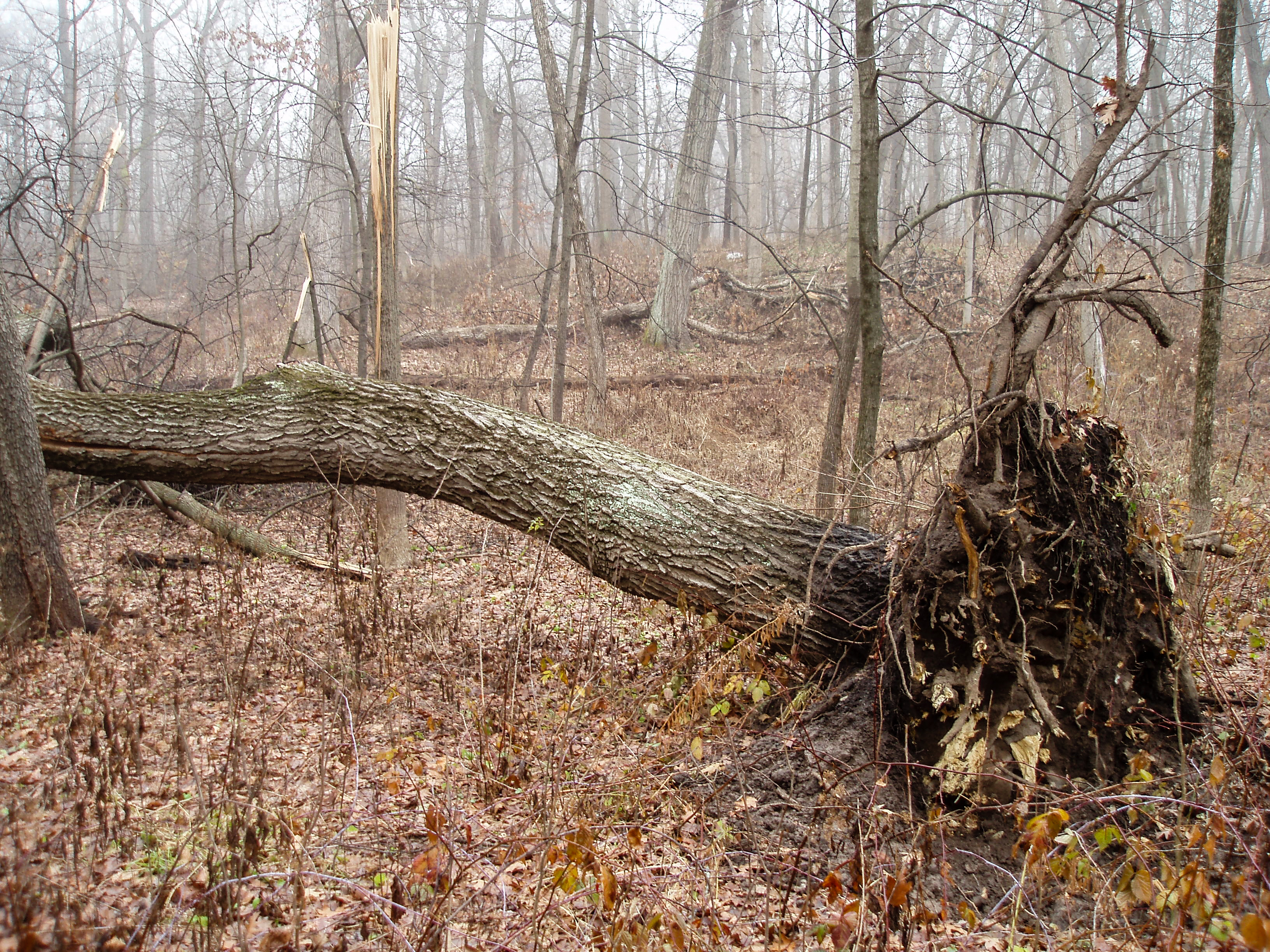
Landscape ecology considers geographical patterns and dynamics of their change across time. Any complete biological understanding of the Chicago region must include not only what is here now but also how it got that way. Fortunately, we don’t have to go back too far geologically speaking, as our landscape is less than 20,000 years old. Three major lobes of the most recent continental glacier flowed down from the North and scoured our region’s bedrock, then began their final retreat around 18,000 years ago. As the glacier melted, with occasional periods of stalling when the push from the North was balanced by melting at the edge, it left behind a variably deep layer of various kinds of deposits. The topography was more elevated in the morainal arcs where the melt was stalled for a time, lower and flatter when the melt-back was more uniform and rapid. Occasional pocks formed where blocks of glacial ice were buried and later melted, resulting in small lakes, bogs and other wetlands. Our rivers had their start as glacial meltwater drainage streams. The Lake Michigan Lobe of the glacier picked up and crushed the softer shale from the bottom of what was to become that lake, so it left behind deposits heavy in clay west and southwest of the lake. When glacial crunching and meltwater eroded harder igneous and metamorphic rocks the ice had transported from Canada, gravel and sand resulted. Quartz sand, the most erosion-resistant component of such rocks, accumulated especially around the edge of Lake Michigan and the tributaries of the Kankakee River, which started as a glacial meltwater drainage stream originating in the part of the region covered by the glacier’s Saginaw Lobe.

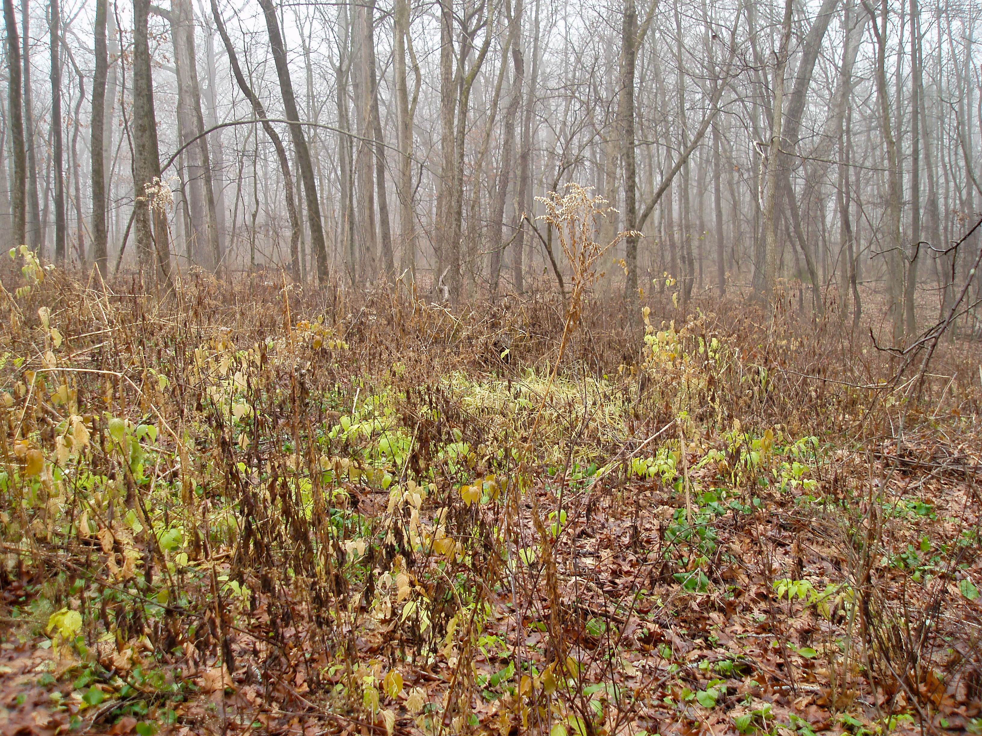
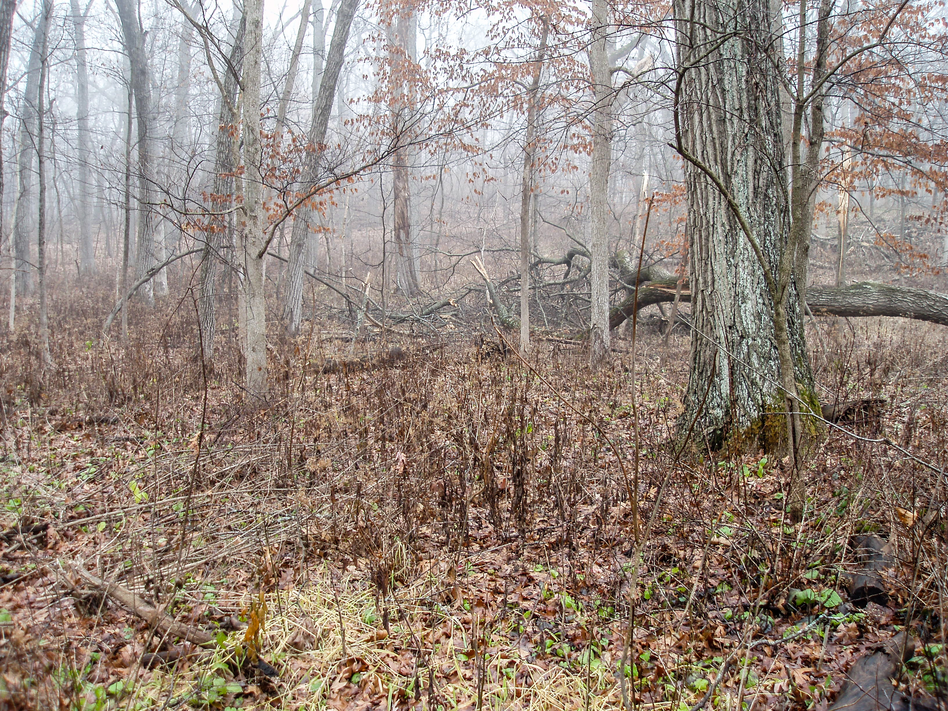
This glacial history impacted our singing insect fauna in various ways. Some species require, or at least are only abundant, on sandy soils. These include the green-winged and northern dusk-singing cicadas, whose nymphs live on buried plant roots, and some of the grasshoppers, for which the sandy substrate for egg-laying and/or a poor-soil plant community is an important habitat component. A couple of species, the gray ground cricket and the seaside grasshopper, are limited to the beaches and dunes around the Lake Michigan edge.

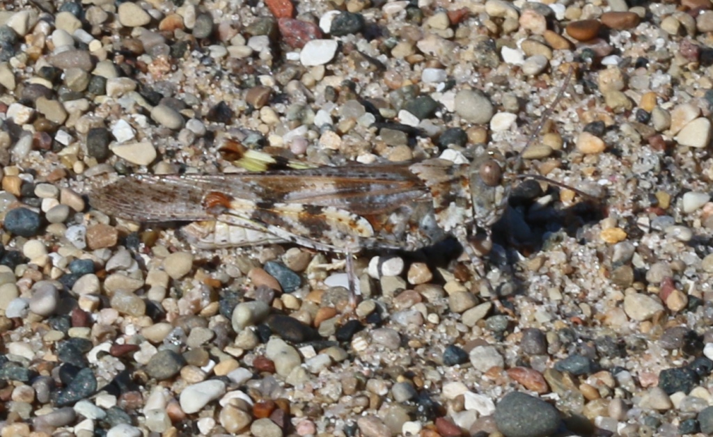
The beaches at different points on the Lake Michigan shore have different compositions, resulting in selection for different colors in the seaside grasshopper. Here, at Illinois Beach State Park, there is a greater mix of different colors of ground igneous and metamorphic rocks.

The beaches of the Indiana Dunes are a more uniform quartz sand. Here, two seaside grasshoppers (same species as in the previous picture) would be nearly invisible if they were not flashing their inner femur colors at one another.

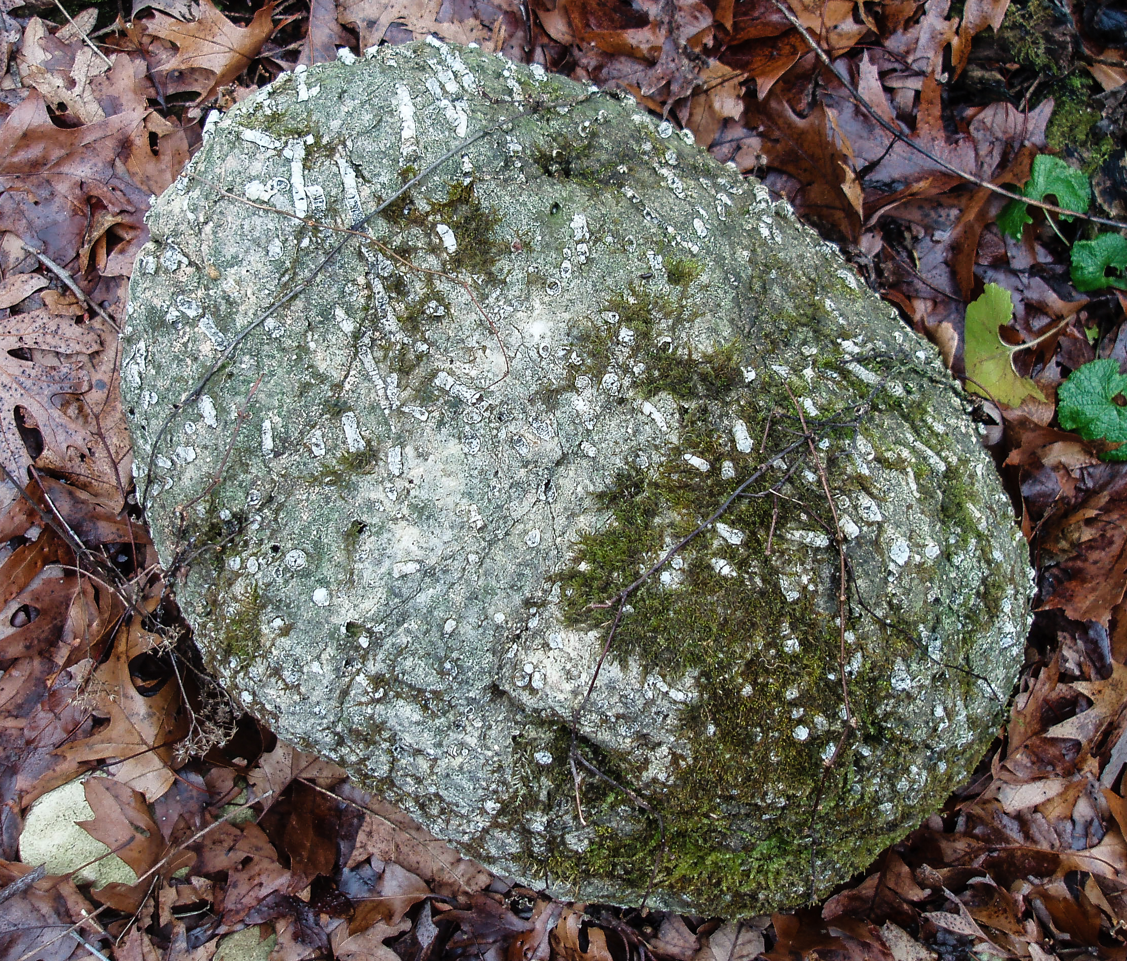
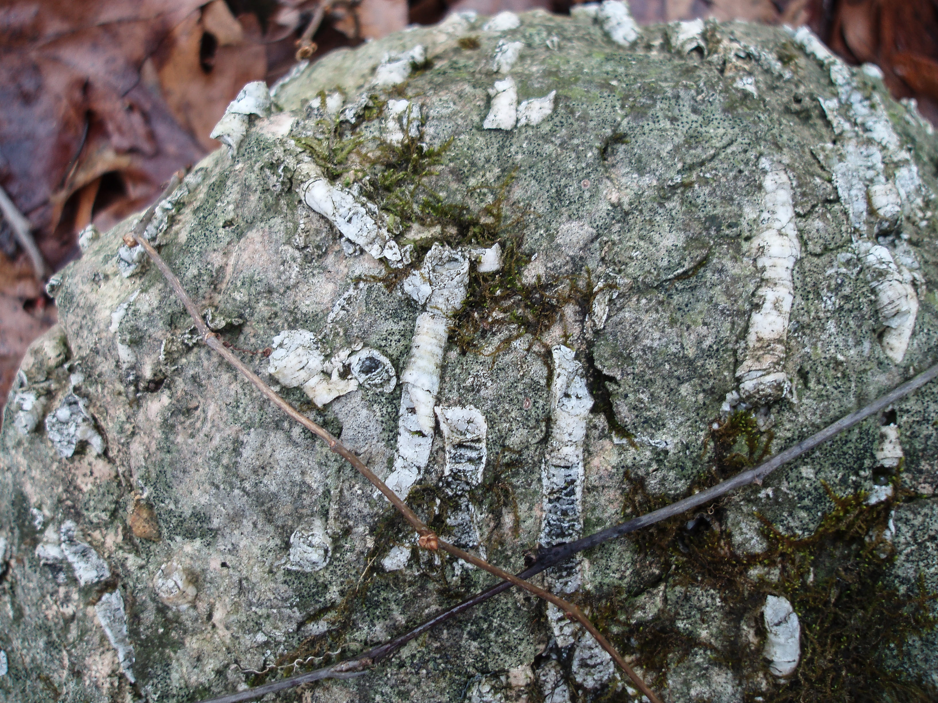
Kames are gravel hills formed by waterfalls within the melting glacier, and they provide a well-drained substrate. Isolated populations of sulfur-winged grasshoppers and tinkling ground crickets live on a kame in the Lulu Lake Nature Preserve in northern Walworth County, Wisconsin.

Exposed gravel on part of the kame at Lulu Lake.

All species were pushed south by the glacier, surviving in what is now the southern U.S. and being influenced by selective forces then and during the advance north as the climate moderated and plant communities spread back over the barren glacial deposits. Most of our familiar prairie and forest plant species were restricted to rather small refuges in the South during the glacial maximum, though oaks and hickories occupied a large part of the southern U.S.

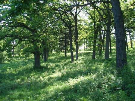
Black oak savanna, Kankakee County

As the glacier melted back, open sedge tundra with some black spruce trees invaded first, then white spruces filled in to form a recognizable northern coniferous forest until around 15,000 years ago. By around 12,000 years ago most of our landscape was a mix of deciduous species, including woodlands with lots of oaks. Beginning around 10,000 years ago there was a drying period, which led to the spread of prairie through our area. The prairie then retreated as the climate became wetter, so that by 6200 years ago the western part of our region was a prairie with islands of woodlands and wetlands, grading to forest in the eastern part. This reflects a gradient of increasing moisture from west to east, mediated by the flow of wet air circulating north from the Gulf of Mexico. The drier prairies were maintained by fires which frequently knocked back woody plants that otherwise would have converted even the western part of the region into woodlands. The wooded islands within the prairie were not randomly located, but survived where rivers, other wetlands, and topographic breaks shielded certain spots from prairie fires pushed by the prevailing westerly winds. The upshot for our singing insects is a diverse landscape that to this day contains species specializing in prairie, woodland and various wetland habitats, as well as some that thrive around the edges between habitat types. A few species may be relicts of earlier changes in this history. For instance, the delicate meadow katydid, now apparently extinct in the region, is abundant in prairies to the west and probably accompanied the prairie advance. By the early 20th Century it was known in a very few scattered locations. I have not been able to find it anywhere in the present day.

Delicate meadow katydid females have longer ovipositors than their close relatives.

Pilot Mountain

by Carl Strang

On the way to visit my brother and his family in eastern North Carolina for Christmas, I made a stop at Pilot Mountain State Park in the western part of that state. Pilot Mountain is an isolated peak that rises 1500 feet above the surrounding terrain (against only 2 miles’ diameter at the base), and its striking profile is visible from miles away in all directions. My route takes me right past it, and a quick entry is available from that interstate highway.

There are two high points, and you can drive to the top of the lower of those.

This view from the top gives a sense of Pilot Mountain’s dramatic rise.

The sides of this quartzite-cored peak are forested. White, red and chestnut oaks were the dominant trees in the part of the forest I explored.

A nice network of trails wraps around the park.

As a biologist, I was especially interested in the wildlife.

The deer and the gray squirrels looked small as compared to those in northern Illinois. This probably is a latitude effect rather than a peculiarity of the park.

My eyes scanned the trail from time to time, and I was pleased to see some bobcat tracks, but those were dwarfed by a few footprints that had been made by something much larger.

This was the clearest example. At 3-4 inches in diameter, with a circular overall outline and lacking toenail marks, it was close to mountain lion tracks I have seen out West.

Here is an example from Big Bend National Park, Texas.

I passed on my observation to the park staff. A little internet searching revealed that the presence of mountain lions in western North Carolina is debated. I believe my identification is correct, but this does not mean that there is a resident population with Pilot Mountain in a lion’s home range. Our experience in the Midwest is that mountain lions have been wandering outward from the Black Hills, several states away. One was killed in Chicago a few years ago. These cats, though big, are wary and capable of staying out of sight. I would not be surprised at all if eventually it is established that the mountainous region of western North Carolina and surrounding states harbors a resident population of this large predator.


St. James Farm, Lately

by Carl Strang

This has been a relatively slow winter at St. James Farm Forest Preserve. There has been little snow, so my tracking has been limited. Coyotes have been covering the preserve, and the relatively few deer tracks have not revealed a consistent pattern. That in itself suggests buck group, and eventually in January I saw them: a huge buck, a good-sized but clearly subordinate forkhorn, and a newly minted buck fawn. Since that first sighting, I have spotted them twice more in widely separated parts of the preserve.

The boss buck

The boss buck

As I mentioned in an earlier post, the great horned owls’ nest tree of last winter was a casualty of the autumn’s controlled burn. My practice is to wait until mid-February to do the annual nest search. I had my inventory of candidate cavities, made last winter, but it didn’t take long to find the incubating female on last year’s red-tailed hawk nest. In a related note, I spotted a newly available candidate cavity along one of my monitoring routes. The top of an old oak recently broke off, leaving an open top of sufficient diameter that great horneds might consider it. A forest this old probably has some equilibrium of candidate cavities as old ones are lost and new ones form.

The new candidate nesting cavity

The new candidate nesting cavity

With that task out of the way, I decided to see if I could find a little nest in the area where the hooded warbler had his territory last summer. He has been a regular there in recent years, but as far as I know, no one has seen a female or young. I found that his territory has scattered bush honeysuckles and lots of Japanese barberries, bad for forest quality but probably good from the warbler’s viewpoint. Descriptions of hooded warbler nesting suggest that barberry would be an ideal platform. I didn’t find a nest, and ended the search when I found a dense thicket of barberries, with a few multiflora roses mixed in, at least 100 feet in diameter, worthy of Brer Rabbit.

 Part of the thorny tangle

Part of the thorny tangle

As I circumnavigated this patch, which is in a part of the forest with relatively dramatic surface relief, I noticed a few tipped trees whose fall had turned up rounded stones in the soil.

Rounded stones exposed by a tipped tree’s root tangle

Rounded stones exposed by a tipped tree’s root tangle

This suggests that the preserve’s forested hills may in fact be kames, places within the melting continental glacier where the meltwater piled its flow-rounded stones into mounds. St. James Farm is very close to the western edge of the Valparaiso Moraine.


Be Kind to Rocks Week

by Carl Strang

St. James Farm Forest Preserve has a scattering of stones, large and small, in its forests and open areas. Some of these are chunks of local Silurian dolomite bedrock that were gouged out by the most recent continental glacier. Others are glacial erratics, stones likewise left by the glacier but picked up by it where the bedrock was different. These generally source back to Canada. Though much of the glacier’s Lake Michigan Lobe route followed that lake bed, the bedrock there is a soft shale that the ice ground to clay, with occasional surviving pieces up to a couple inches across, but nothing that could be called a boulder.

Recently my eye was caught by a trailside erratic split by the temperature changes that the seasons bring.

This appears to be a rock type known as gneiss, which started out as granite but was subjected to stresses that altered its structure into a banded pattern. Such bedrock is common around the east end of Lake Superior, where our glacial lobe exited Canada.

This appears to be a rock type known as gneiss, which started out as granite but was subjected to stresses that altered its structure into a banded pattern. Such bedrock is common around the east end of Lake Superior, where our glacial lobe exited Canada.

There was no indication that the rock had been struck by anything to create the break. Freezing and thawing were sufficient. I photographed the rock and left it as is. A week later, passing that way again, I saw that someone had replaced the fragment.

Gravity works, and the pieces were fitted precisely, so a human agent is indicated.

Gravity works, and the pieces were fitted precisely, so a human agent is indicated.

So, what motivation are we tracking here? Was it simply a matter of orderliness? Or, did someone want to make sure that the fragment did not become someone’s souvenir? Or, was this putting-back-together an act of kindness to the rock? I am reminded of one of the most widespread traditional stories west of the Mississippi River, with every Native American tribe having at least one version, in which an animated rock teaches Coyote (or his trickster equivalent, depending on the version) a lesson of respect.


Exploring the Interior

by Carl Strang

Now that the leaves are down from the trees and shrubs, I have been exploring the areas between the forest trails at St. James Farm Forest Preserve. Those areas are large enough that I cannot cover the forest adequately from the trails. I have found deer runs and old equestrian paths that will provide sufficient access for routine monitoring. Along the way I have found some interesting places. One foggy day I zig-zagged my way through part of the western forest.

This area has been cleared of invasive honeysuckles and other shrubs. Part of it is young second growth with a few clearings where perennial herbaceous plants are growing.

This area has been cleared of invasive honeysuckles and other shrubs. Part of it is young second growth with a few clearings where perennial herbaceous plants are growing.

Elsewhere there are old trees, many of them red oaks.

Elsewhere there are old trees, many of them red oaks.

Among the occasional boulders was this outwash-rounded fossiliferous one.

Among the occasional boulders was this outwash-rounded fossiliferous one.

The chunk of local Silurian dolomite appears to have been a spot on the ocean floor, adjacent to a reef, where there was a crinoid colony.

The chunk of local Silurian dolomite appears to have been a spot on the ocean floor, adjacent to a reef, where there was a crinoid colony.

A morainal depression held a huge fallen red oak.

A morainal depression held a huge fallen red oak.

The tree had lost the grip of most of its roots in the soil.

The last roots that were holding the tree up still show the relatively fresh color where they fractured.

The last roots that were holding the tree up still show the relatively fresh color where they fractured.

The orientation of the trunk relative to those broken roots suggests that a very strong wind from the west was the culprit.

 The oak didn’t go down alone. Broken stems reveal the trees it took out on either side. The force of the fall split the oak’s stem lengthwise.

The oak didn’t go down alone. Broken stems reveal the trees it took out on either side. The force of the fall split the oak’s stem lengthwise.

Each day in this exploration has brought its own delights.

Here, a beautiful moss colony became established on an old burn scar.

Here, a beautiful moss colony became established on an old burn scar.

One day when I was the preserve’s only human visitor, I saw one of St. James Farm’s coyotes. The fat belly and good coat indicate that this animal is a successful hunter.

One day when I was the preserve’s only human visitor, I saw one of St. James Farm’s coyotes. The fat belly and good coat indicate that this animal is a successful hunter.

So now the stage is set for routine coverage of St. James Farm’s ongoing natural history story.


Literature Review: Pleistocene and Holocene

by Carl Strang

Today’s notes are from last year’s literature on the recent ice ages and subsequent prehistoric times. Some are biological in focus, others relevant to past and present climate change.

Coyotes once were bigger and more carnivorous than they are today, according to the following study.

Coyotes once were bigger and more carnivorous than they are today, according to the following study.

Meachen, J.A., A.C. Janowicz, J.E. Avery, and R.W. Sadleir. 2014. Ecological changes in coyotes (Canis latrans) in response to the ice age megafaunal extinctions. PLoS ONE 9(12): e116041. doi:10.1371/journal.pone.0116041 They measured coyote skulls from 29,000 years ago (La Brea tar pits) to present day, and found a transition from features associated with predation specialization to the present-day omnivory. Another study had found in addition a decrease in body size. They interpret this as a change in predator interactions. When the much larger dire wolf was the other dominant canid, and megafauna were abundant, coyotes could make a good living as specialist predators. Megafauna loss, and associated dire wolf extinction, opened the door for gray wolf immigration from Europe. This new, smaller predator was similar ecologically, but at the same time larger than the coyote, forcing a coyote niche shift to a more generalized diet.

Maher, K., and C.P. Chamberlain. 2014. Hydrologic regulation of chemical weathering and the geologic carbon cycle. Science 343:1502-1504. Kerr, Richard A. 2014. How Earth can cool without plunging into a deep freeze. Science 343:1189. The Kerr news article was based on the Maher and Chamberlain paper. The study looked at the mechanism that limits ice age cooling, preventing it from running away to a pole-to-pole glaciation. Volcanoes add carbon dioxide to the atmosphere, warming climate but also dissolving in rainwater, the resultant carbonic acid dissolving rock. The products flow to the sea, are taken up by plankton for skeleton building, and ultimately are buried. This removal process limits carbon dioxide buildup. Most of the dissolved rock is in mountains, and mountain uplift as in the Andes and Himalayas thus is tied to a global thermostat turndown. However, cooling slows the weathering reactions, allowing carbon dioxide to build back up.

Pena, Leopoldo D., and Steven L. Goldstein. 2014. Thermohaline circulation crisis and impacts during the mid-Pleistocene transition. Science 345:318-322. They found evidence for a profound change in oceanic circulation patterns corresponding to the change in glacial cycling from 41-thousand-year to 100-thousand-year durations. They conclude that “North Atlantic ice sheets reached a milestone in size and/or stability” that led to the ocean circulation change, resulting in a greater carbon dioxide drawdown, increased polar glaciation, and setting the pattern for the following 100,00-year cycles.

Guil-Guerrero, J.L., et al. 2014. The fat from frozen mammals reveals sources of essential fatty acids suitable for Paleolithic and Neolithic humans. PLoS ONE 9(1): e84480. doi:10.1371/journal.pone.0084480 They analyzed the fat chemistry of frozen woolly mammoths, horses and bison from Siberia. The fats were judged to be nutritionally good for human hunters of the time (41,000-4400 years ago). Furthermore, the fats of mammoths and horses were like those of hibernating mammals. The authors suggest that the mammoths and horses hibernated in similar fashion to present-day Yakutsk horses, which move little and mainly stand in sleeping positions during the coldest weather. The mammoth fatty acids suggest derivation from certain lichens in the diet.

Willerslev, Eske, et al. 2014. Fifty thousand years of Arctic vegetation and megafaunal diet. Nature 506 (7486): 47. DOI: 10.1038/nature12921 A large, multi-national team went into Pleistocene sediments and mummified gut contents, and used reference DNA from herbarium specimens to characterize vegetational changes over the past 50,000 years. They found that the last ice age caused a significant alteration of northern plant communities, greatly reducing forbs while increasing grasses and woody plants. Many of the megafauna herbivores such as woolly rhinoceros and woolly mammoth depended on the forbs for their protein content, and the authors believe that the failure of forb-rich communities to re-form after the ice receded contributed to or even caused megafaunal extinctions. No mention was made of human hunting in the ScienceDaily article describing the study.

Hoffecker, J. F., S. A. Elias, and D. H. O’Rourke. 2014. Out of Beringia? Science 343 (6174): 979. DOI: 10.1126/science.1250768 They reviewed cores taken from the Bering Sea and found that Beringia was not a barren grassland through the glacial times but had significant areas of tundra shrubs and trees. Animals including elk and moose likely lived there, and the likelihood of long-term human occupation seems good. This could provide a way that the ancestors of Native Americans could have been isolated from Asians for the 10,000 years, between 25,000 and 15,000 years ago, accounting for the genetic differences comparisons show. Beringia was not glaciated, and summers may well have been like those of today, though winters would have been severe. When the glaciers opened a way by melting, the 15,000-year Native American presence in the continent began as the Beringians moved in.

Literature Review: Paleozoic Era

by Carl Strang

The first animals which unambiguously connect to present day forms appear in the fossil record early in the Paleozoic Era, which began 542 million years ago, billions of years after the planet first formed. Here are some notes from studies of this era published in 2014.

American alligator. One of the following studies places the split between the reptilian crocodile-dinosaur-bird group and the lizard-snake group at the very end of the Paleozoic Era.

American alligator. One of the following studies places the split between the reptilian crocodile-dinosaur-bird group and the lizard-snake group at the very end of the Paleozoic Era.

Cong, Peiyun, et al. 2014. Brain structure resolves the segmental affinity of anomalocaridid appendages. Nature, DOI: 10.1038/nature13486 They studied the brain structure of Lyrarapax unguispinus, a fossilized relative of Anomalocaris, and found it was both simpler than those of its contemporary prey, and very similar to those of today’s onychophorans, or velvet worms, terrestrial southern hemisphere forest floor predators with unusual antennae that connect to the brain in the same way that the pair of grasping appendages connected to the brain of Lyrarapax. The similarities suggest a common ancestry.

Jourdan, F., et al. 2014. High-precision dating of the Kalkarindji large igneous province, Australia, and synchrony with the Early-Middle Cambrian (Stage 4-5) extinction. Geology 42 (6): 543. DOI: 10.1130/G35434.1 From a ScienceDaily article. The first major extinction event, which took out 50% of species in the Middle Cambrian, was caused by a mass volcanic eruption in Australia according to this study.

Morris, Simon Conway, and Jean-Bernard Caron. 2014. A primitive fish from the Cambrian of North America. Nature, DOI: 10.1038/nature13414 New Burgess shale fossils from the Cambrian of 505mya (million years ago) show detail in one of the earliest fishes, Metaspriggina, in which branchial arches are revealed as paired, with the first pair slightly thicker than the others (a step toward the first jaw). They had large eyes, and probably were good swimmers.

Shubin, Neil H., Edward B. Daeschler, and Farish A. Jenkins, Jr. 2014. Pelvic girdle and fin of Tiktaalik roseae. PNAS, DOI: 10.1073/pnas.1322559111 From a ScienceDaily article. They describe the anatomy of the rear part of this fish, previously known only from anterior portions. This animal was transitional toward terrestrial life, living in a delta environment where the ability to cross over land from stream to stream was advantageous. It was large, as much as 9 feet long, with large teeth making it somewhat reminiscent of a crocodile. It was lobe-finned, had a flexible neck, and rudimentary lungs. Its well-developed shoulder girdle previously was known, but it had been assumed that it crawled with only its front fins. The surprise was that the pelvic girdle also is developed, with a ball and socket joint and strong hind fins, so these fish had rudiments of four, rather than just two legs.

Ezcurra, M.D., T.M. Scheyer, and R.J. Butler. 2014. The origin and early evolution of Sauria: reassessing the Permian saurian fossil record and the timing of the crocodile-lizard divergence. PLoS ONE 9(2): e89165. doi:10.1371/journal.pone.0089165 They took a close look at Permian fossils in an attempt to resolve debate on when the split happened between the reptilian line leading to crocodiles, dinosaurs and birds on the one hand (archosauromorphs) and lizards and snakes on the other (lepidosauromorphs). They concluded that only the former have been found in the Permian, and place the earliest possible time for the split at 254.7 million years ago (very late Permian).

Literature Review: Proterozoic Eon

by Carl Strang

The Proterozoic Eon spanned the immense period of time from 2.5 billion to 542 million years ago. It has captured the imaginations of many researchers, because its rocks have teased them with clues that hint at amazing stories, such as the first eukaryotic life forms, a billion-year stall-out of life’s evolution, a globe-covering ice age (“snowball Earth”), and the first appearance of multicellular organisms, which may or may not be connected to those we have today. Here are my notes from last year on some studies of that eon.

There was no terrestrial life in the Proterozoic, but this was the time when the Chicago region’s crust joined the North American continent, appending itself to the southern boundary of the Canadian Shield.

There was no terrestrial life in the Proterozoic, but this was the time when the Chicago region’s crust joined the North American continent, appending itself to the southern boundary of the Canadian Shield.

Northwestern University. 2014. “Mysterious Midcontinent Rift is a geological hybrid.” ScienceDaily, <www.sciencedaily.com/releases/2014/10/141016132850.htm>. This article described a collaborative project, still unpublished, focusing on the mid-continent rift that left Lake Superior as its most visible feature. The rift was underway in the mid-Proterozoic when it filled with magma and stopped opening. More magma subsequently poured out on top of it, pushing the original body down and thickening the crust there. The feature thus combines rift characteristics with those of a large igneous province, and contains more volcanic rock than any other mid-continent rift on the planet. Incidentally the pieces of volcanic rock we find in local glacial drift came from that source.

Sánchez-Baracaldo, Patricia, Andy Ridgwell, and John A. Raven. 2014. A Neoproterozoic transition in the marine nitrogen cycle. Current Biology, DOI: 10.1016/j.cub.2014.01.041  From a ScienceDaily article. They used molecular clock estimation to place the appearance of nitrogen fixing by cyanobacteria at 800 million years ago. This may have removed the nutrient limitation that was holding life back, setting the stage for proliferation both of biomass and of evolutionary potential. However, this timing also is just before the Snowball Earth glaciation event, and the authors suspect that the algal bloom might have sequestered enough carbon to be a trigger for that event.

Hoyal Cuthill, Jennifer F., and Simon Conway Morris. 2014. Fractal branching organizations of Ediacaran rangeomorph fronds reveal a lost Proterozoic body plan. PNAS, DOI: 10.1073/pnas.1408542111  From a ScienceDaily article. They looked at the 3-dimensional structure of Ediacaran life forms (referred to as rangeomorphs), and found that their fractal designs efficiently filled the space around them. They argue that these were animals, living too deep in the sea for photosynthesis, which absorbed dissolved nutrients directly from the water. This was possible until predators, filter feeders and more mobile life forms rendered this subsistence style unsupportable.

Liu, Alex, et al. 2014. Haootia quadriformis n. gen., n. sp., interpreted as muscular Cnidarian impression from the Late Ediacaran period (approx. 560 Ma). Proceedings of the Royal Society B, DOI: 10.1098/rspb.2014.1202  From a ScienceDaily article. They described an Ediacaran fossil from Newfoundland, 560 million years old, concluding that it was a cnidarian with muscle tissue, the earliest animal with muscle.

Literature Review: Hadean and Archean Eons

by Carl Strang

Today’s post begins a series of weekly updates from last year’s literature on prehistoric life and the associated geology. In this one I include selected studies of our planet’s first two eons, covering the first 2 billion years (out of 4.6 total) of the Earth’s existence. The Hadean Eon is defined by the lack of surviving crust. It is known mainly from moon rocks, which along with certain deep-Earth data have told of a collision between the early Earth and a Mars-sized object named Theia. The moon was a product of that collision. The following Archean Eon brought the first-formed planetary crust, oceans, and the origin of life.

Hadean Eon

Arpita, Roy, et al. 2014. Earthshine on a young moon: explaining the lunar farside highlands. Astrophysical Journal Letters, DOI: 10.1088/2041-8205/788/2/L42 The far side of the moon has hardly any maria, unlike the familiar near side which has large areas covered by those ancient lava flows. This paper provides an explanation as to why the far side crust is so much thicker, so that meteor strikes did not so readily punch through. It is built on the collision that formed the moon. Both Earth and moon were much closer together at first, and the moon became tidally locked, so that the one side always faced the Earth. The heat of the Earth kept the near side hotter and molten longer, so that aluminum and calcium compounds cooled sooner and fell out more thickly on the far side, ultimately combining with silicates to form a thicker, feldspar-rich crust there.

Herwartz, D., A. Pack, B. Friedrichs, and A. Bischoff. 2014. Identification of the giant impactor Theia in lunar rocks. Science 344 (6188): 1146-1150. Data casting doubt on the Theia collision hypothesis were based on lunar rocks that had been contaminated through contact with Earth. New measurements taken from samples returned by NASA missions from the moon confirm that the proportion of Earth material in the moon is low enough to fit collision models.

Valley, John W., et al. 2014. Hadean age for a post-magma-ocean zircon confirmed by atom-probe tomography. Nature Geoscience, DOI: 10.1038/ngeo2075  They found zircon crystals in certain Australian rocks that formed 4.4 billion years ago, pushing back the earliest crust formation time and potentially permitting the formation of life earlier than had been thought. They suggest a hydrosphere may have existed as soon as 100 million years after the Theia collision.

Stromatolite fossil, Kakabeka Falls Provincial Park, Ontario. Stromatolites were colonial photosynthetic bacteria, responsible for the initial buildup of oxygen in the Archean atmosphere.

Stromatolite fossil, Kakabeka Falls Provincial Park, Ontario. Stromatolites were colonial photosynthetic bacteria, responsible for the initial buildup of oxygen in the Archean atmosphere.

Archean Eon

Russell, Michael J., et al. 2014. The drive to life on wet and icy worlds. Astrobiology 14 (4): 308. DOI: 10.1089/ast.2013.1110  From a ScienceDaily article. They are examining one way life could make a start, around alkaline thermal vents at the bottom of an otherwise acidic (carbon dioxide rich) ocean. “Life takes advantage of unbalanced states on the planet, which may have been the case billions of years ago at the alkaline hydrothermal vents,” said Russell. “Life is the process that resolves these disequilibria.” The article describes two possible geological analogs to processes that go on in mitochondria. One imbalance is in protons, or hydrogen ions, which would have been more concentrated on the outsides of vent chimneys. The other would be the gradient from the methane and hydrogen in the vent to carbon dioxide in the surrounding ocean, which could have produced an electron transfer. The mineral analogs to enzymes are thought to have been “green rust” (not further identified in the article; its participation could have stored energy from the proton imbalance in a phosphate-containing molecule) and molybdenum (known to transfer two electrons at a time in physiological processes). They point out that these are processes that could be common on other watery planets.

Martin, William F., Filipa L. Sousa, and Nick Lane. 2014. Energy at life’s origin. Science 344:1092-1093. They compare the energy-releasing chemical reactions common to living things and find them to be similar to those going on at alkaline hydrothermal vents, suggesting that such places were where life began.

Literature Review: Inside the Earth

by Carl Strang

Sea cliffs, Adak Island. Formations like this have inspired scientists to discover the dynamics of the Earth that produced them.

Sea cliffs, Adak Island. Formations like this have inspired scientists to discover the dynamics of the Earth that produced them.

Naif, S., K. Key, S. Constable, R. L. Evans. 2013. Melt-rich channel observed at the lithosphere–asthenosphere boundary. Nature  495 (7441): 356 DOI: 10.1038/nature11939  As described in a ScienceDaily article. They found a previously unknown layer of magma in the upper mantle which apparently is the lubricant for tectonic motion of crustal plates.

Livermore, P.W., R. Hollerbach and A. Jackson. 2013. Electromagnetically driven westward drift and inner-core superrotation in Earth’s core. PNAS, DOI: 10.1073/pnas.1307825110  From a ScienceDaily article. The solid iron inner core of the Earth, about the size of our moon, rotates to the east but at a faster speed than the planet as a whole. The outer core, also of iron but liquid, rotates slowly to the west. These dynamics result in the planet’s geomagnetic field, which itself rotates very slowly to the west. At the same time, the field produces the observed motions of the two parts of the core.

Kerr, Richard A. 2013. The deep Earth machine is coming together. Science 340:22-24. In this news review article, Kerr reports on progress geologists are making in understanding and mapping out details of the planet’s mantle. It is increasingly understood to be a complex mix of descending crustal slabs from plate boundaries, various masses of somewhat mysterious deep matter, and rising plumes from the deep mantle. This mapping is difficult and produces some contention over results, but consensus is growing. Plumes are recently accepted by many as existing, and accounting for a variety of phenomena including the Hawaiian Islands, the extraordinary eruption history of the Yellowstone area, Iceland’s volcanism, and the large volcanic traps eruptions involved in some of the massive species extinction events (most notably the end-Permian one). At present there are two very large “piles” of deep matter, one centering in the equatorial Pacific Ocean region, and one extending down the west coast of Africa and into the ocean to its south, with which are associated most of the active hot spots (mainly around their edges) and, in the African one, concentrations of diamond-bearing Kimberlites. The descending “curtains” of plate edges from subduction zones may be driving the movements and concentrations of different materials in various depths of the mantle. Heat from the core interacts with these materials in ways that remain to be determined.

« Older entries